National Weather Service surveys Charlotte area for tornado signs after damaging storms and widespread power outages
Survey teams assess whether rotating winds touched down
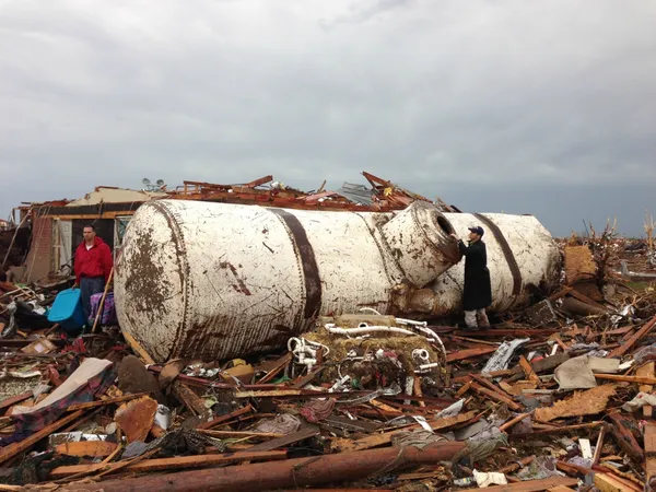
The National Weather Service has begun surveying parts of the Charlotte region after a line of strong storms moved through and left scattered damage, including downed trees, damaged roofs and power interruptions. The survey process is used to determine whether damage was caused by a tornado or by straight-line winds, and—if a tornado is confirmed—to map the path length, width and estimated wind speeds using the Enhanced Fujita (EF) scale.
Initial reports from emergency responders and local officials described concentrated damage in areas north and northeast of Charlotte, including portions of Cabarrus and Rowan counties. In Rowan County, damage was reported near Mount Ulla, where a home sustained major impacts and part of a roof was blown off an elementary school; no injuries were reported in those incidents.
What investigators look for, and why it can take time
Damage surveys typically begin as soon as conditions allow safe access. Meteorologists examine building impacts, tree-fall patterns and debris distribution. A narrow, continuous corridor of convergent debris can indicate tornadic winds, while broader, more uniform damage is more consistent with straight-line winds. In larger events, aerial reconnaissance may be used to quickly identify a damage corridor, while ground crews document details needed for an EF rating.
Confirmation: Whether a tornado occurred or winds remained non-tornadic.
Mapping: Start and end points of the damage track, including maximum width.
Intensity estimate: EF rating based on damage indicators and degrees of damage.
Storm impacts across the Charlotte region
Municipal updates described blocked intersections and hazardous travel conditions in parts of Concord, where fallen trees and power lines impeded traffic. Power outages affected thousands of customers at the height of the storms, with service gradually restored as crews cleared debris and repaired lines.
A tornado watch indicates conditions are favorable for tornadoes to form; a tornado warning is issued when a tornado is indicated by radar or confirmed by observation.
How the results will be reported
If a tornado is confirmed, the National Weather Service will publish a public summary describing the track and rating. If no tornado is found, the agency may classify the event as straight-line wind damage. Either outcome can influence future planning by documenting local vulnerabilities, identifying recurring damage patterns and improving public preparedness messaging for severe-weather seasons in the Carolinas.
Residents with storm damage are encouraged to photograph impacts, note the time of occurrence if known, and prioritize safety around downed trees, unstable structures and power lines while assessments continue.