Winter’s Grip: Charlotte Braces for Heavy Snow and ‘Bomb Cyclone’ Winds
A City on Alert: Winter Storm Warning in Effect
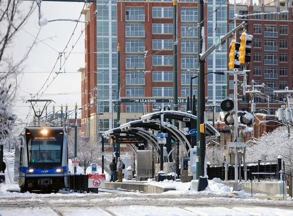
Charlotte residents are waking up to a quiet but frigid Friday, marking the proverbial calm before the storm. A significant winter weather system is currently tracking toward the Queen City, prompting the National Weather Service to issue a Winter Storm Warning for Mecklenburg County and the surrounding Piedmont region. Forecasters are keeping a close eye on a rapidly intensifying ‘bomb cyclone’ system that is expected to bring measurable snowfall and dangerously cold temperatures to the area starting late this afternoon.
Morning: A Cold and Overcast Start
The morning hours will remain dry but increasingly overcast. Temperatures are starting in the mid-to-upper 20s, with humidity levels hovering around 60%. While road conditions remain clear for the early morning commute, the air will feel biting due to a light northerly breeze. Residents are encouraged to use this window of time to finalize any emergency preparations, as the weather is predicted to shift dramatically by late today.
Afternoon: The Turning Point
Conditions will begin to deteriorate as we move into the afternoon. While the high temperature is expected to reach approximately 37°F to 40°F, the arrival of the storm system will bring a sharp increase in wind speeds. The National Weather Service’s Winter Storm Warning officially takes effect at 4:00 PM. Wind gusts are projected to reach between 25 and 35 mph, creating a significant wind chill factor that will make afternoon highs feel closer to the freezing mark. By late afternoon, the first flurries may begin to appear on the horizon.
Evening and Night: Snowfall and Hazardous Travel
The primary impact of the storm will be felt this evening and throughout the night. As the bomb cyclone strengthens along the Atlantic Coast, heavy snow is expected to develop across Charlotte. Current predictions suggest total snow accumulations between 2 and 7 inches by the time the system moves out. Snowfall rates may increase after sunset, leading to rapidly declining visibility and hazardous driving conditions. Bridges and overpasses are expected to become slick first, and officials are urging residents to stay off the roads after the 4:00 PM warning begins.
Safety and Preparation Notices
In addition to the snow, the combination of high winds and the weight of frozen precipitation on tree limbs poses a risk for sporadic power outages across the Piedmont. The National Weather Service recommends that all residents have an emergency kit ready, including flashlights, batteries, and non-perishable food. With temperatures expected to drop into the mid-20s overnight, it is critical to ensure that pets are brought indoors and that outdoor pipes are properly insulated to prevent freezing.